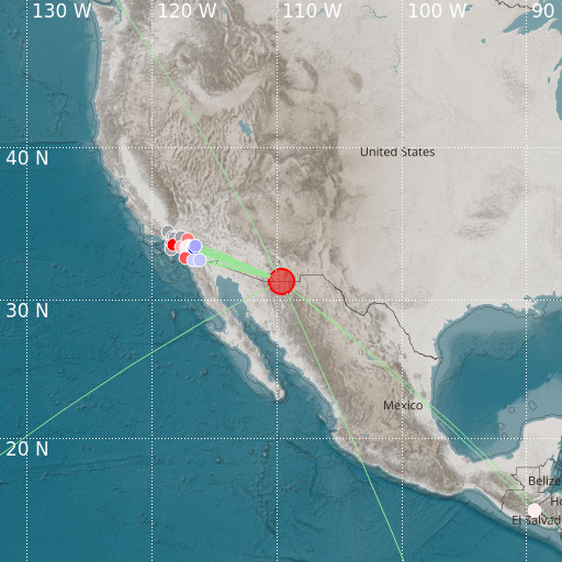
E. Arizona-Sonora Border Region
18/05/2024 23:12:15 (UTC) mb 6.1 10 Km

Localisation
- E. Arizona-Sonora Border Region
- Latitude : 31.31 °N
- Longitude : 109.68 °W
- Depth : 10 Km
Description
- Date : 18/05/2024 23:12:15 (UTC)
- Magnitude : 6.1 mb
- Phase count : 17
- RMS residual :2.01
Distance to nearest cities
- 12 kms of Agua Prieta
- 13 kms of Douglas
- 25 kms of Naco
- 28 kms of Bisbee
- 48 kms of Fronteras
- 65 kms of Sierra Vista

