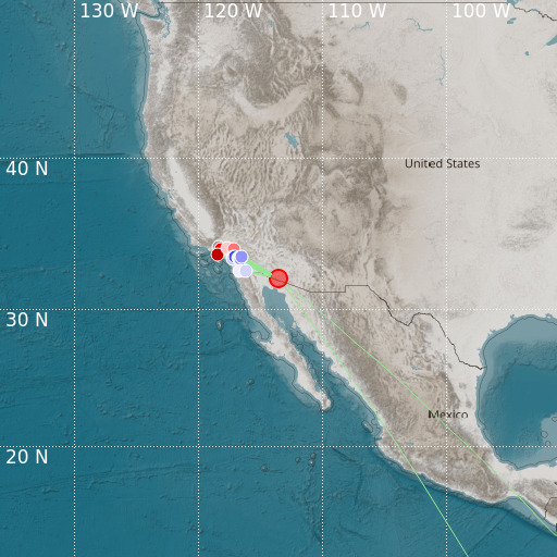
W. Arizona-Sonora Border Region
18/05/2024 22:57:52 (UTC) MLv 4.5 5 Km

Localisation
- W. Arizona-Sonora Border Region
- Latitude : 32.18 °N
- Longitude : 113.55 °W
- Depth : 5 Km
Description
- Date : 18/05/2024 22:57:52 (UTC)
- Magnitude : 4.5 MLv
- Phase count : 16
- RMS residual :2.44
Distance to nearest cities
- 75 kms of Sonoyta
- 78 kms of Wellton
- 96 kms of Puerto Peñasco
- 104 kms of Golfo de Santa Clara
- 116 kms of Gila Bend
- 118 kms of San Luis Rio Colorado

