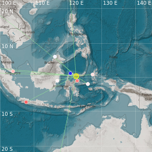
Minahassa Peninsula, Sulawesi
27/04/2024 05:07:07 (UTC) mb 4.8 125 Km

Localisation
- Minahassa Peninsula, Sulawesi
- Latitude : 0.39 °N
- Longitude : 122.41 °E
- Depth : 125 Km
Description
- Date : 27/04/2024 05:07:07 (UTC)
- Magnitude : 4.8 mb
- Phase count : 13
- RMS residual :2.4
Distance to nearest cities
- 74 kms of Gorontalo
- 167 kms of Ampana
- 215 kms of Kotamobago
- 256 kms of Amurang
- 276 kms of Ratahan
- 289 kms of Tomohon

