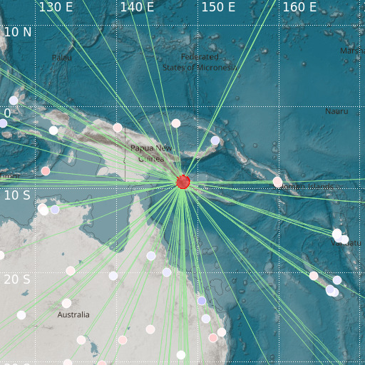
Eastern New Guinea Reg., P.N.G.
27/11/2021 20:36:43 (UTC) mb 5.2 45 Km

Localisation
- Eastern New Guinea Reg., P.N.G.
- Latitude : 9.3 °S
- Longitude : 148.12 °E
- Depth : 45 Km
Description
- Date : 27/11/2021 20:36:43 (UTC)
- Magnitude : 5.2 mb
- Phase count : 89
- RMS residual :0.65
Distance to nearest cities
- 61 kms of Popondetta
- 63 kms of Kokoda
- 77 kms of Sogeri
- 88 kms of Gaire
- 90 kms of Barakau
- 92 kms of Tubusereia

