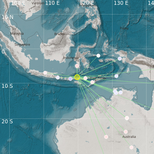
Flores Region, Indonesia
26/11/2021 13:51:09 (UTC) mb 4.7 178 Km

Localisation
- Flores Region, Indonesia
- Latitude : 8.22 °S
- Longitude : 119.71 °E
- Depth : 178 Km
Description
- Date : 26/11/2021 13:51:09 (UTC)
- Magnitude : 4.7 mb
- Phase count : 30
- RMS residual :0.68
Distance to nearest cities
- 35 kms of Labuanbajo
- 37 kms of Wae Mata
- 49 kms of Terang
- 74 kms of Malwatar
- 88 kms of Kec. Sape
- 91 kms of Kec. Lambu

