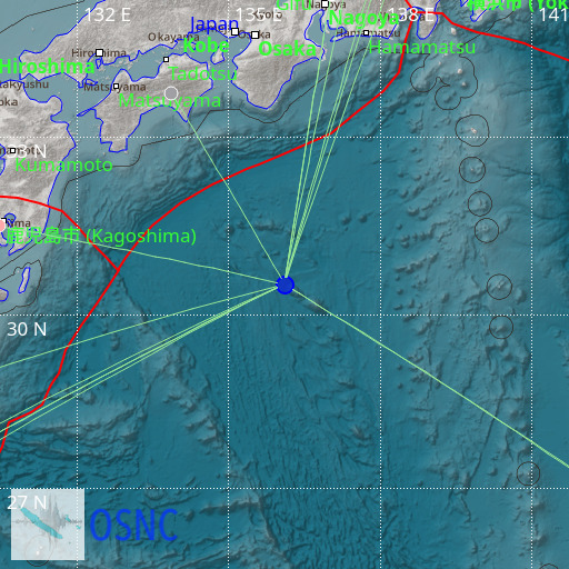
Southeast of Shikoku, Japan
21/08/2025 18:51:44 (UTC) mb 4.3 606 Km

Localisation
- Southeast of Shikoku, Japan
- Latitude : 30.52 °N
- Longitude : 136.1 °E
- Depth : 606 Km
Description
- Date : 21/08/2025 18:51:44 (UTC)
- Magnitude : 4.3 mb
- Phase count : 14
- RMS residual :1.46
Distance to nearest cities
- 330 kms of Kushimoto
- 336 kms of Kozagawa
- 342 kms of Susami
- 342 kms of Taiji
- 347 kms of Nachi-Katsuura
- 356 kms of Shingu

