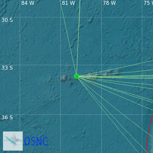
Juan Fernandez Islands Region
01/06/2025 19:09:46 (UTC) mb 4.4 418 Km

Localisation
- Juan Fernandez Islands Region
- Latitude : 33.71 °S
- Longitude : 79.83 °W
- Depth : 418 Km
Description
- Date : 01/06/2025 19:09:46 (UTC)
- Magnitude : 4.4 mb
- Phase count : 13
- RMS residual :2.34
Distance to nearest cities
- 693 kms of Caleta Tumbes
- 693 kms of Lenga
- 694 kms of Buchupureo
- 694 kms of San Vicente
- 695 kms of Cobquecura
- 695 kms of Talcahuano

