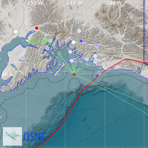
Gulf of Alaska
13/05/2025 16:36:40 (UTC) MLv 3.1 0 Km

Localisation
- Gulf of Alaska
- Latitude : 59.9 °N
- Longitude : 146.33 °W
- Depth : 0 Km
Description
- Date : 13/05/2025 16:36:40 (UTC)
- Magnitude : 3.1 MLv
- Phase count : 17
- RMS residual :1.95
Distance to nearest cities
- 78 kms of Cordova
- 137 kms of Valdez
- 236 kms of Eagle River
- 237 kms of Fort Richardson
- 241 kms of Elmendorf Air Force Base
- 242 kms of Palmer

