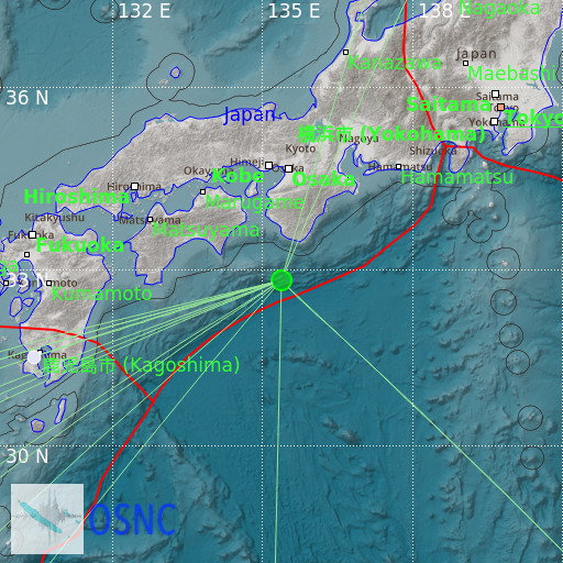
Southeast of Shikoku, Japan
02/05/2025 15:53:05 (UTC) mb 4.9 550 Km

Localisation
- Southeast of Shikoku, Japan
- Latitude : 32.8 °N
- Longitude : 135.38 °E
- Depth : 550 Km
Description
- Date : 02/05/2025 15:53:05 (UTC)
- Magnitude : 4.9 mb
- Phase count : 16
- RMS residual :2.38
Distance to nearest cities
- 84 kms of Kushimoto
- 84 kms of Susami
- 91 kms of Kozagawa
- 98 kms of Shirahama
- 100 kms of Kamitonda
- 102 kms of Taiji

