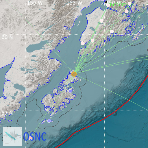
Kodiak Island Region, Alaska
13/04/2025 22:59:29 (UTC) MLv 4.7 78 Km

Localisation
- Kodiak Island Region, Alaska
- Latitude : 58.47 °N
- Longitude : 152.32 °W
- Depth : 78 Km
Description
- Date : 13/04/2025 22:59:29 (UTC)
- Magnitude : 4.7 MLv
- Phase count : 28
- RMS residual :1.89
Distance to nearest cities
- 76 kms of Kodiak
- 138 kms of Homer
- 334 kms of Anchorage
- 339 kms of Elmendorf Air Force Base
- 342 kms of Fort Richardson
- 352 kms of Eagle River

