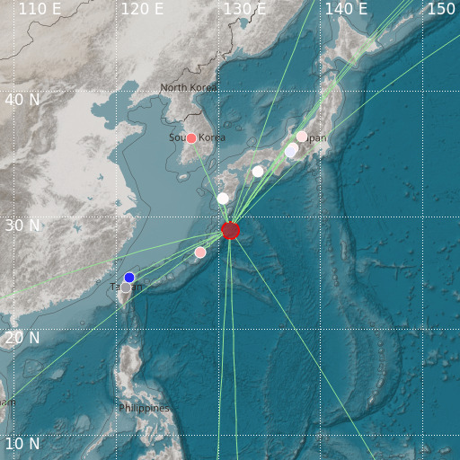
Southeast of Ryukyu Islands
01/06/2024 02:37:33 (UTC) mb 5.2 40 Km

Localisation
- Southeast of Ryukyu Islands
- Latitude : 28.86 °N
- Longitude : 131.13 °E
- Depth : 40 Km
Description
- Date : 01/06/2024 02:37:33 (UTC)
- Magnitude : 5.2 mb
- Phase count : 20
- RMS residual :1.88
Distance to nearest cities
- 131 kms of 喜界町 (Kikai)
- 159 kms of 龍郷町 (Tatsugo)
- 168 kms of Anbō
- 168 kms of 奄美市 (Amami)
- 174 kms of Yakushima
- 174 kms of 南種子町 (Minamitane)

