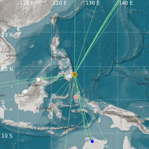
Philippine Islands Region
03/08/2024 03:17:18 (UTC) mb 4.8 88 Km

Localisation
- Philippine Islands Region
- Latitude : 7.6 °N
- Longitude : 127.03 °E
- Profondeur : 88 Km
Description
- Date : 03/08/2024 03:17:18 (UTC)
- Magnitude : 4.8 mb
- Nombre de phases : 17
- RMS résiduel :2.09
Distances des villes les plus proches
- 52 Km de Baganga
- 59 Km de Caraga
- 67 Km de Cateel
- 69 Km de Manay
- 78 Km de Boston
- 84 Km de Lingig

