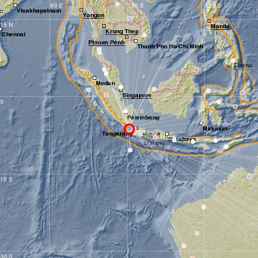
Sunda Strait, Indonesia
14/04/2018 18:02:27 (UTC) mb 5.2 47 Km

Localisation
- Sunda Strait, Indonesia
- Latitude : 6.29 °S
- Longitude : 105.36 °E
- Profondeur : 47 Km
Description
- Date : 14/04/2018 18:02:27 (UTC)
- Magnitude : 5.2 mb
- Nombre de phases : 53
- RMS résiduel :1.2
Distances des villes les plus proches
- 53 Km de Labuhan
- 81 Km de Cilegon
- 82 Km de Pandegelang
- 90 Km de Serang
- 95 Km de Bandar Lampung
- 98 Km de Rangkasbitung

