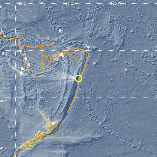
Tonga Islands Region
16/10/2017 18:09:31 (UTC) mb 5.5 113 Km

Localisation
- Tonga Islands Region
- Latitude : 23.89 °S
- Longitude : 174.97 °W
- Depth : 113 Km
Description
- Date : 16/10/2017 18:09:31 (UTC)
- Magnitude : 5.5 mb
- Phase count : 41
- RMS residual :1.01
Distance to nearest cities
- 307 kms of Nuku'alofa
- 666 kms of Raoul island
- 937 kms of Suva
- 938 kms of Nausori
- 940 kms of Lami
- 1013 kms of Labasa

