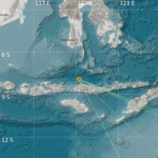
Localisation
- Flores Sea
- Latitude : 7.92 °S
- Longitude : 120.21 °E
- Depth : 80 Km
Description
- Date : 03/08/2024 22:26:49 (UTC)
- Magnitude : 3.9 mb
- Phase count : 5
- RMS residual :0.03
Distance to nearest cities
- 61 kms of Terang
- 73 kms of Labuanbajo
- 74 kms of Wae Mata
- 80 kms of Taga
- 82 kms of Dongang
- 82 kms of Hombel